
3.20 miles/108m elevation change/ Easy Hike/Dog friendly
Start location postcode OL12 7TY (Car park opposite ‘Owd Betts’ Pub)
Click the button below to download the Cheesden Mills Loop GPX file to your smartphone and follow by using with the ‘Footpath Route Planner‘ App. Please note you will need to download the ‘Footpath Route Planner’ App in the app store first. Once you have downloaded this app, click the button below and save the route to the app.
Welcome to this fantastic walk over the moorland, just to the North of Greater Manchester. The start of the walk is located at Ashworth Moor Reservoir on the car park opposite the Owd Betts pub. The pub is ideal for a post walk pint too (when out of quarantine).
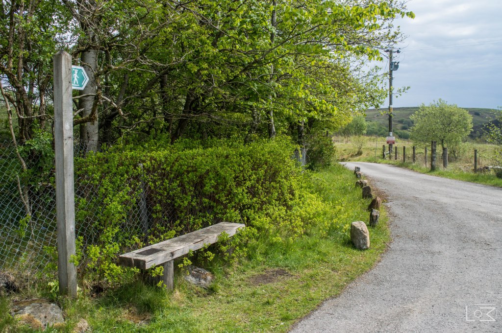
Start the walk by heading North West along Edenfield road sticking on the car park side. Continue until there is a break in the wall followed by some steps. These steps will lead to the moorland and the start of our walk.
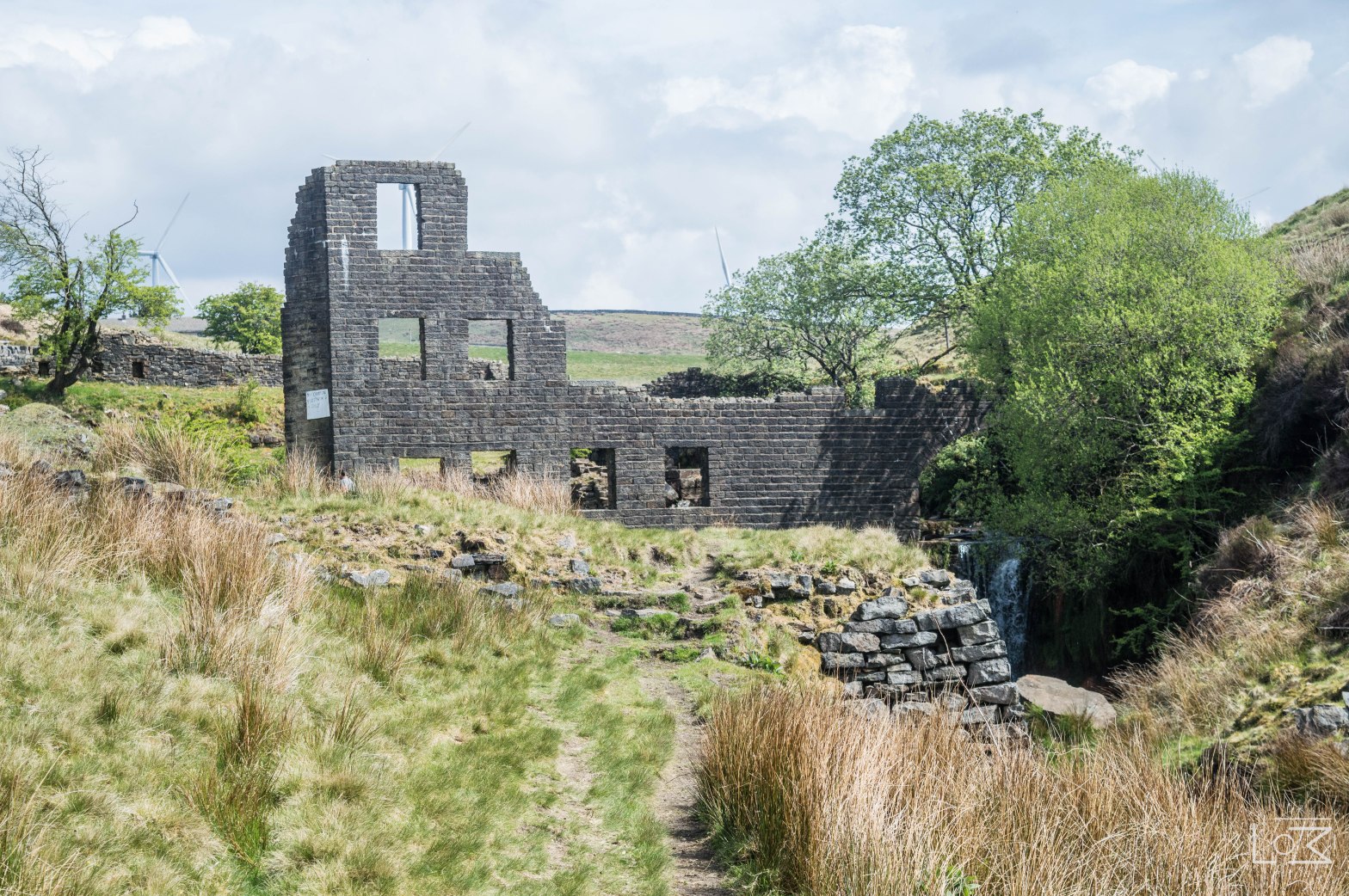
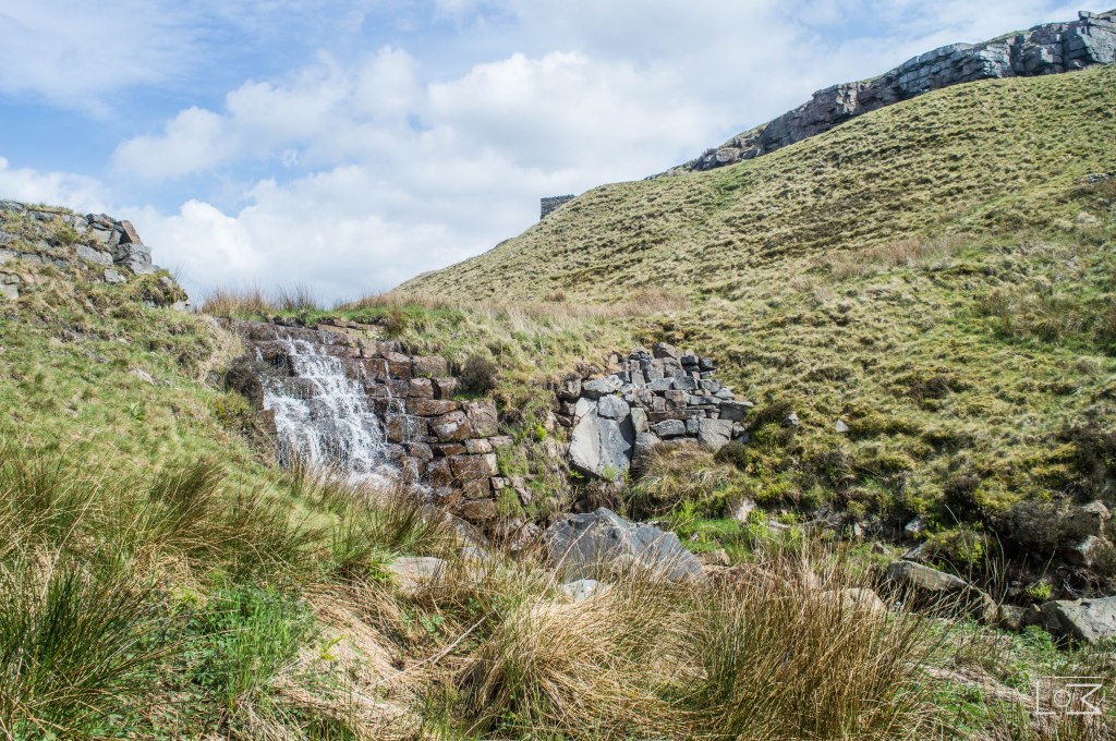
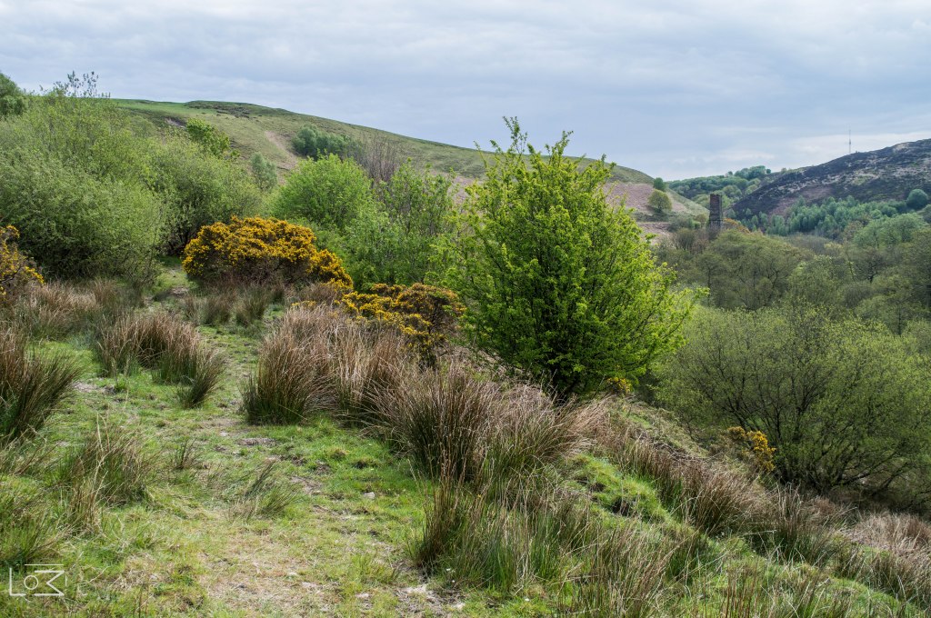
Once down the steps the path forks, take the right path that leads down into the valley with a stream on your left hand side. Follow the path keeping the stream on your left hand side and what is revealed in front of you is a great example of our industrial heritage, Cheesden Lumb Mill.
This is just 1 of 15 moorland mill’s in this valley built in the 1700’s. These mills processed the off cuts of waste material from the larger mills in Greater Manchester, into felted materials.
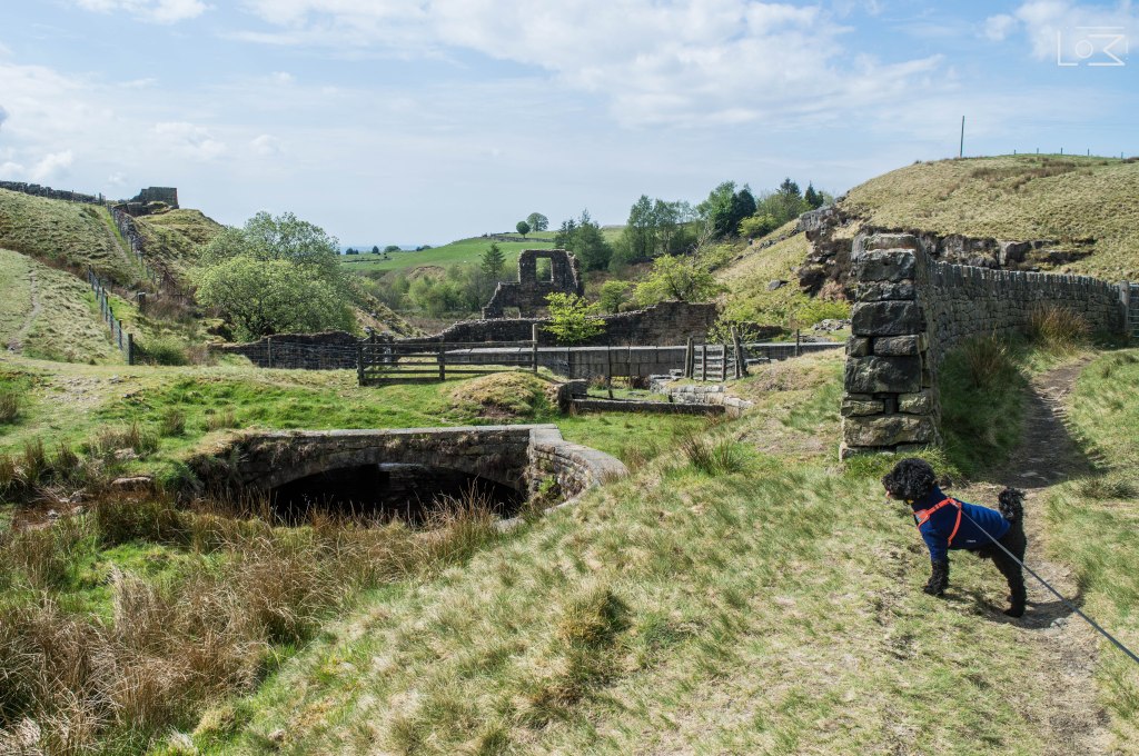
Continue to follow the path and cross the bridge heading straight down the valley keeping the mill on your left hand side and the weir on the right hand side.
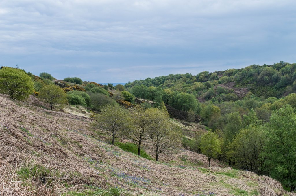
Proceed down into the ruins, where there are some excellent photo opportunities, and continue down the footpath, keeping Cheesden Brook on your left hand side and the quarry face on your right, until you come to the old mill pond.
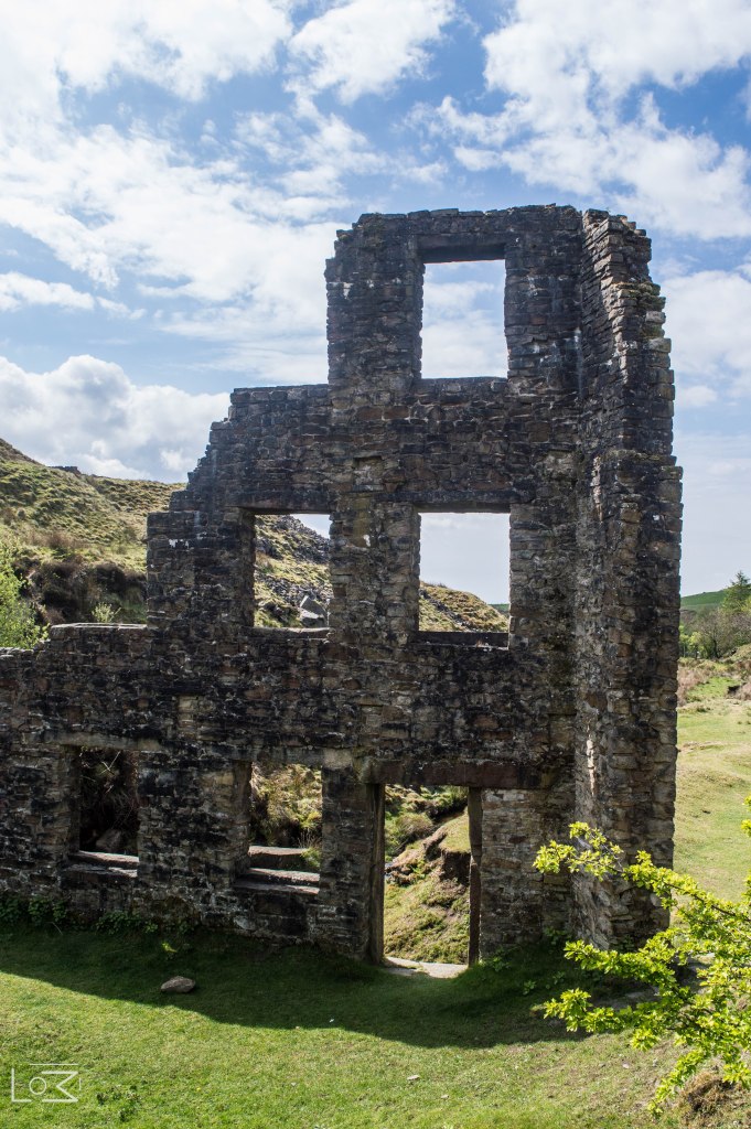
Cheesden Lumb Mill Ruins 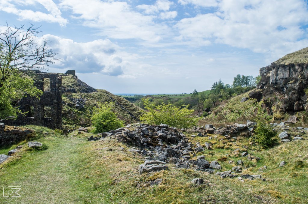
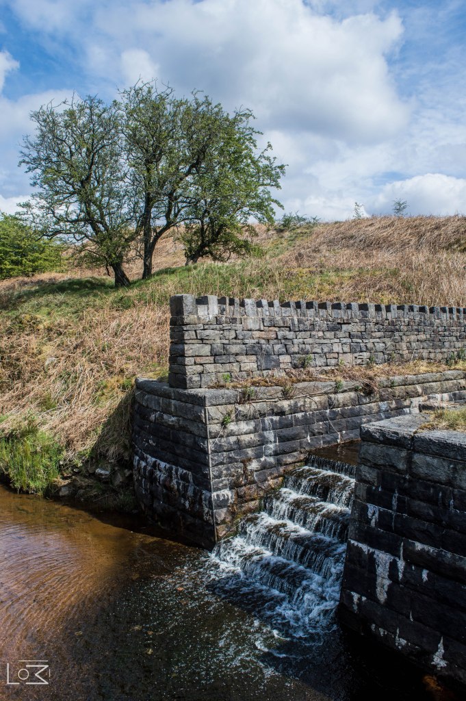
Follow the path to the left in-between the mill pond and the waterfall.
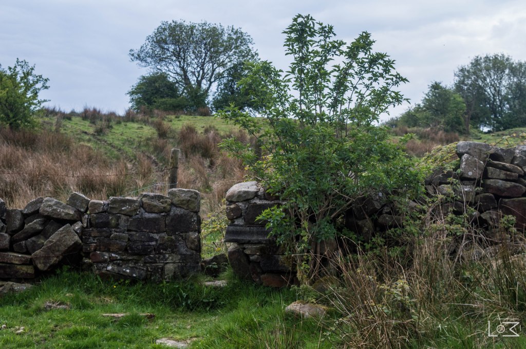
Around the corner you will find the ruins of a second mill. This mill again, was a moorland mill producing felted material from offcuts. These mills begin their demise in the 1800’s due to the invention of steam power, leaving water powered mills obsolete.
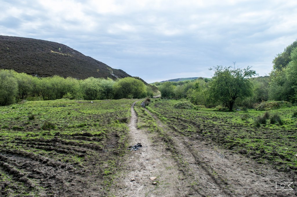
Continue to follow the footpath down the valley for 0.2 miles keeping the stream on your left hand side.
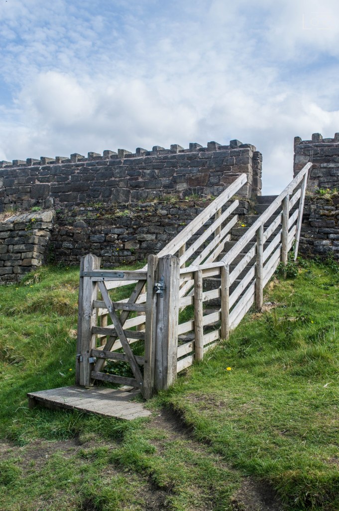
The path will begin to ascend up the valley side and start to bend around to the right. Follow this until you reach a large gate in the wall.
Pass through the gate and turn left down Croston Close road. Follow this road for 0.2 miles, passing a farmhouse on your right and a fishing lodge on your left.
You will then reach a junction. Bear left at the Junction keeping the fishing lodge on your left hand side.
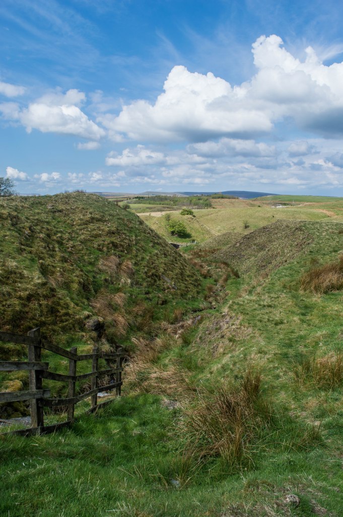
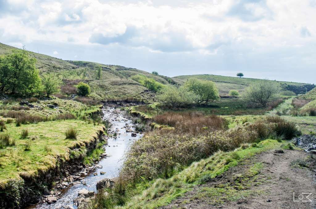
Follow the road for 0.1 miles following it as it bends around to the right. Do not go into the driveway of the house, climb over the style on the right hand side. This will lead you into a field and you will find yourself alongside Cheesden Brook again. Do not be tempted to cross the bridge over the brook. Follow the path around the brook keeping it on your left hand side, around the meander bend, until you see a gap in the wall on your right hand side.

Follow the path through the gap in the wall, and continue to follow the path up the slope. When you reach the summit you will be able to see another mill pond to your left. Again, this is another fantastic photo opportunity of our industrial heritage.
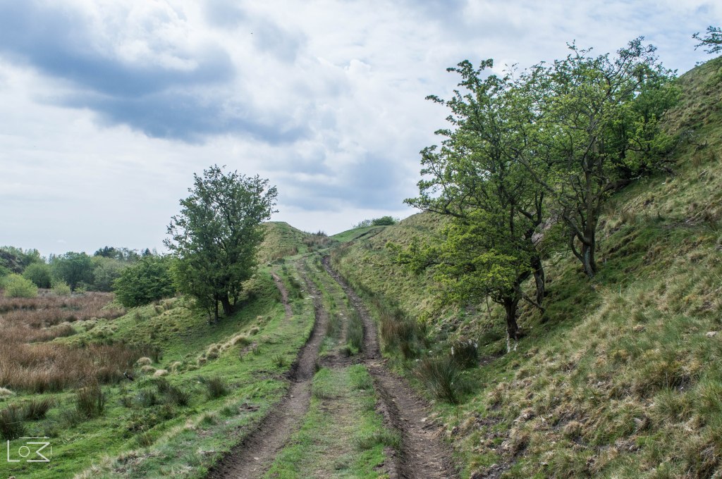
Here you find yourself on an old mill road from the 1700’s known as Deeply Vale Lane. Follow this lane for 0.5 miles.
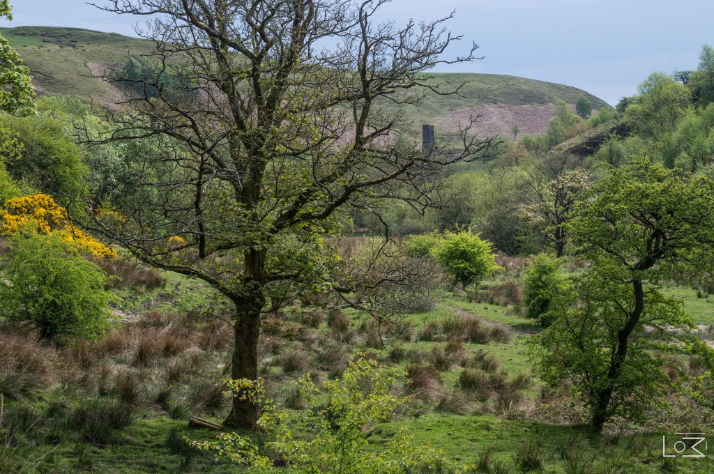
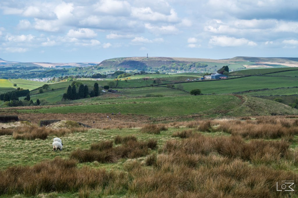
At various points along this path you will spot many relics of the industrial revolution, the most impressive of which, a chimney tower from one of the cotton mills.
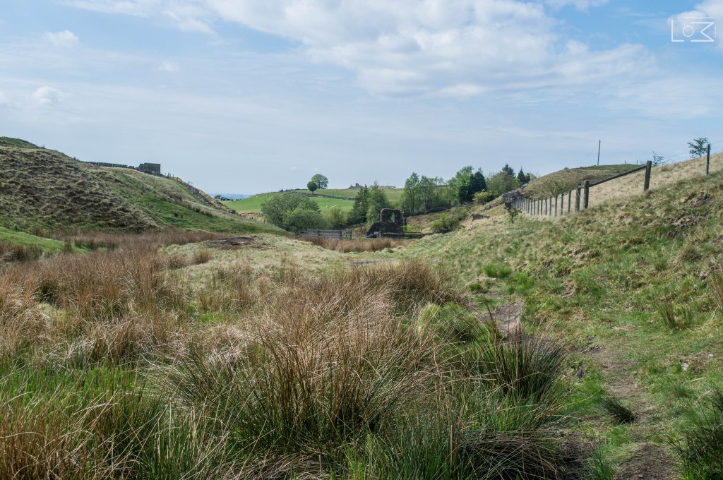
After 0.5 miles, you will find yourself at a junction with one path continuing down the valley towards the chimney and one path heading left up the valley side.
Follow the path to the left and head out of the valley. This path is very steep so please take your time. At the top of the steep slope you will find yourself in a farmers field. Take extra care at this point as this field houses cattle. If you have a dog, ensure it is on a lead at this point.
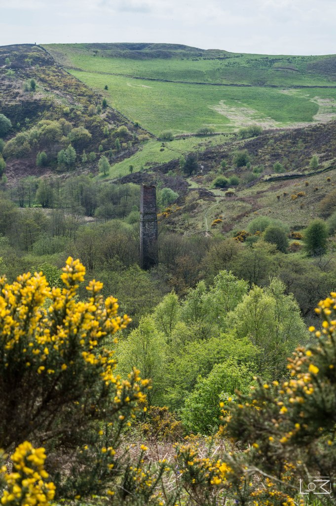
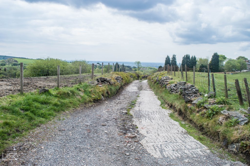
If you turn around at this point you will have a fantastic view back down the valley with the majestic chimney tower standing proudly in the middle. You will now find yourself on a farm track passing some farm buildings on your right. Follow this farm track for 0.5 miles passing various farm buildings and machinery as you go.

Ashworth Road 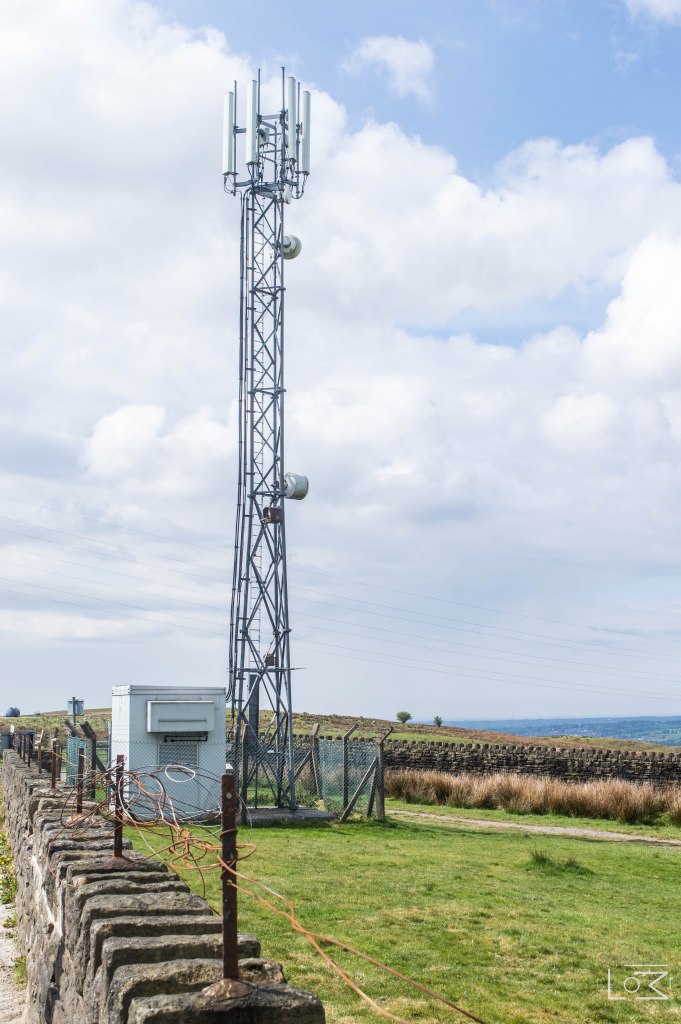
Mobile Phone Mass
You will then find yourself at Ashworth Road. Turn left down this road, towards Ashworth Moor reservoir, for 0.1 miles until, you come to a gate in the wall next to a mobile phone mast.
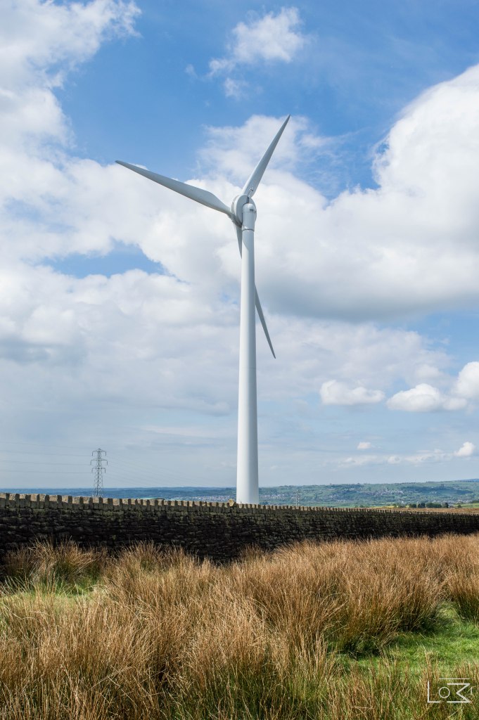
Pass through the gate and follow the footpath towards the reservoir, passing the wind turbine on your left.
Continue along this footpath until you reach the slope of the reservoir bank.
If you look to your left you will get a fantastic view over the Irwell valley, towards Ramsbottom, with Peel Tower sticking up proudly on the horizon.
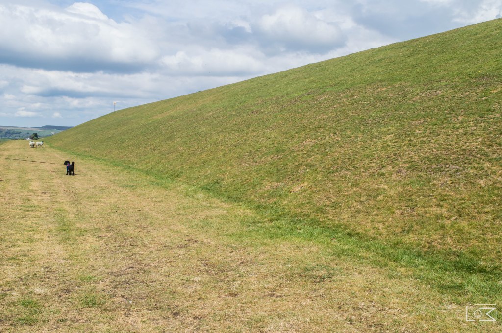
Banks of the reservoir
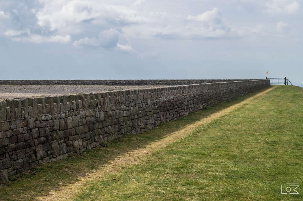
Head up this slope so you find yourself on the footpath on the banks of the reservoir. Continue on this path, keeping the reservoir on your right hand side until you reach a gate. Pass through the gate and continue on the path.

This is the final leg of your journey. Continue for 0.2 miles along the path until you find yourself with a familiar sight in front of you, the steps you took from Edenfield road. Congratulations, you have finished your hike and earned yourself a pint at the Owd Betts Pub.
Did you enjoy this walk? Why not leave us a review in the comments below and share your thoughts with your fellow hikers.
Follow/Like us on our Social Channels to stay updated with our latest walks @lancashirewalks

Excellent walk, the directions and the photos made the walk really easy follow. Both the history behind the sights and the views along the way made it a very enjoyable afternoons walking.
LikeLike
I’ve had a fascination with this area and it’s rich industrial heritage for quite some time. It’s a fine example showcasing the embers of the Industrial revolution and the cross over from rural life to the industrial civilisation which we now take for granted. I’m particularly interested in the upper Cheesden valley mills extending out across the moor to the first of the 15 mills – Four Acres. Some have vanished practically without trace but there are still some vague scars on the landscape. Like yourself I am planning to put together a historic trail of these more remote moorland mills. To help locate them I’ve started to carve a mill logo with the initials of the mill and a number into the ruins which will correspond with a written guide so that people will know where they are!
I hope to have this together later this year and social distancing permitting may persue organising the occasional guided walk.
I like what you have done and the photo’s are great!
I’m sure you are aware of the book ‘The Forgotten Valley’ by A.V. Sandiford and T. E. Ashworth written in 1981 – it’s a great and informative read. I was pleased to see that you had once again created interest in the Forgotten Valley, it would be such a loss if it dissappeard and I can’t help thinking we have much to learn from the people who lived and worked in this landscape.
Thank you!
LikeLiked by 1 person
We went a little different, ended up just over 8 miles, with a steep climb just after the chimney, with fantastic views of Manchester city centre and it’s ‘skyscrapers’.
Cheesden valley is a hidden gem, if it was in the peak District or the dales, it would be overcome with walkers, so get there and enjoy it whilst you can.
LikeLike
Superb walk, got a little lost at the bit that says bear left and the bit which says you end up on Ashworth road but managed to find them eventually. I’d not heard of this place until I saw it on Facebook so I decided to come and try to find it. I’m glad I did, the whole walk is great from start to finish
LikeLike
Nice walk, Thank you. Not sure why the ‘Footpath Route Planner’ App is being forced to get hold of the route, export of GTX file is a paid feature, not free. I will recreate the route in a more popular app (Alltrails or Outdooractive)
LikeLike
A really lovely walk. We actually did it in reverse so it was quite a gentle ‘climb’ back up. Quite muddy under foot.
Nice place (Buckhurst Lodgeside) to stop for refreshments at the Croston Close Road junction. A very enjoyable walk!
LikeLike